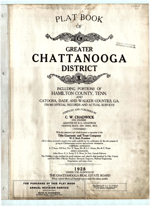
Plat map of Chattanooga, Tennessee, 1928
Item
- Title
- Plat map of Chattanooga, Tennessee, 1928
- Date Created
- 1928
- Description
- Plat maps with index; includes portions of Hamilton County, Tennessee; and Catoosa County, Dade County, and Walker County, Georgia. Maps show lot and block numbers, dimensions, street widths, names of property owners, churches, cemeteries, mills, schools, roads, railroads, lakes, ponds, rivers, and streams.
- Extent
- 1 bound volume (42 plates)
- Collection
- Maps
- Subject
- Cities and towns -- Tennessee -- Maps.
- Chattanooga (Tenn.) -- Maps
- Cities and towns -- Georgia -- Maps.
- Rights
- No Copyright
- Citation
- Plat map of Chattanooga, Tennessee, 1928. Chattanooga Public Library.
- Identifier
- 00011265
- Type
- Still image
- Item sets
- Maps
Position: 21 (248 views)


