-
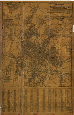 Shutting's street map of Chattanooga, Tennessee, 1938
 Street map of Chattanooga, Tennessee, detailing the transportation infrastructure of the city, shortly after the completion of the Chickamauga Dam. The map names roads, schools, churches, neighborhoods, cemeteries, factories, and streetcar and bus lines. Insets: Downtown Chattanooga -- Map of Chickamauga Park. Includes indexes to streets, suburbs, communities, and points of interest below map. Relief shown by hachures. Shows northwest corner of Georgia including Fairyland and Rossville. Rudolph Julius Shutting was born in Chattanooga on August 16, 1878, the child of Latvian immigrants. He served in the Spanish-American War and registered for World War I and later in the United States Engineers' office. In the 1920's he began creating maps of Chattanooga, including street maps and bird's-eye views of the city. He died in 1951.
-
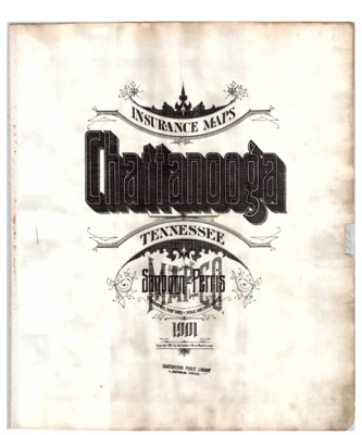 Sanborn map of Chattanooga, Tennessee, 1901
 Fire insurance maps depict buildings, coded by color to represent their material composition, and labeled according to their use. A street index and key are provided.
-
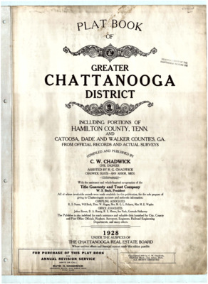 Plat map of Chattanooga, Tennessee, 1928
 Plat maps with index; includes portions of Hamilton County, Tennessee; and Catoosa County, Dade County, and Walker County, Georgia. Maps show lot and block numbers, dimensions, street widths, names of property owners, churches, cemeteries, mills, schools, roads, railroads, lakes, ponds, rivers, and streams.
-
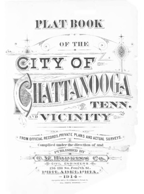 Plat map of Chattanooga, Tennessee, 1914
 Plat maps with index. Maps show lot and block numbers, dimensions, street widths, names of property owners, churches, cemeteries, mills, schools, roads, railroads, lakes, ponds, rivers, and streams.
-
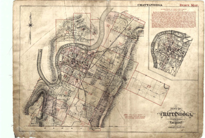 Plat map of Chattanooga, Tennessee, 1904
 Plat maps with index. Maps show lot and block numbers, dimensions, street widths, names of property owners, churches, cemeteries, mills, schools, roads, railroads, lakes, ponds, rivers, and streams.
-
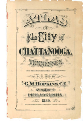 Plat map of Chattanooga, Tennessee, 1889
 Plat maps with index. Maps show lot and block numbers, dimensions, street widths, names of property owners, churches, cemeteries, mills, schools, roads, railroads, lakes, ponds, rivers, and streams.
-
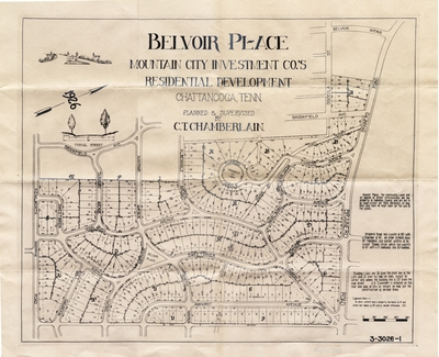 Belvoir Place residential development map, 1926
 Map of the Belvoir Place development of Chattanooga, Tenneessee. Map indicates "planned and supervised by C. T. Chamberlain."